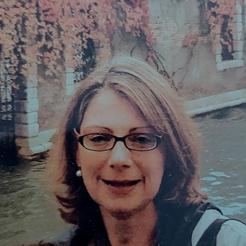
Professor of Automated and Thematic Cartography (1999-) at the Department of Cadastre, Photo-grammetry and Cartography, School of Rural and Surveying Engineering (SRSE), Faculty of Engineering, AUTH. Graduated in Rural and Surveying Engineering from the SRSE Meng/AUTH (1981), PhD in Engineering AUTH (1986).
Director of the Laboratory of Cartography and Geographic Analysis CartoGeoLab AUTH. President of the Hellenic Cartographic Society HCS (2016-) re-elected twice. Secretary of the Hellenic Cartographic Society HCS (2012-2016). Member of the Commission on Cartographic Heritage into the Digital of the International Cartographic Association (2015-). Member of the Commission Cartography and Children της ICA (2005-). Desk of the International Cartographic Association Commission on Cartographic Heritage into the Digital (2006-) – former Digital Technologies in Cartographic Heritage. Member of the Cartoheritage Group AUTH SRSE. Member of the Map & Geoinformation Curators Group (MAGIC). Member of the Editorial Board of the international web journal e-Perimetron for sciences and technologies affined to history of cartography and maps. Member of the AUTH Committee for the establishment and operation of Laboratories, Museums and Clinics (2014 -).
Director of the SRSE AUTH Department of Cadastre, Photogrammetry and Cartography (2011-2013, 2014-2015 and 2019-2021). Deputy President of SRSE AUTH (2015-2017).
Academic Reference for Cartography at SRSE AUTH in the Erasmus+ scheme agreements (2014 – ) with the Department of Cartography and Geoinformatics of the Eötvös Loránd University (ELTE) in Budapest and with the Department of Geoinformatics of the Palacký University (UPOL) in Olomouc.
Visiting academic researcher at the Laboratory of Photogrammetry, University IUAV of Venice (2009)
Visiting researcher at the Institute of Geodesy, Topography and Mining Geophysics, Faculty of Engineering, University of Bologna (1987). Guest engineer at the Cartographic Bureau of the Region Emilia – Romagna, Bologna, Italy (1987).
Cartographic Design and Map Production Engineer at the Mapping Directorate of the Hellenic Ministry of Environment, Physical Planning and Public Works, Athens (1984-1988). In 1990, she introduced cartographic production using digital cartographic methods and techniques to TATM AUTH. Since then, the maps produced have fully satisfied the rules and specifications of cartographic science, technology, and art, resulting from systematic research work and long practical experience.
Evaluator of doctoral theses and research programs at Universities in Greece and abroad and supervisor of a large number (> 150) Undergraduate and Postgraduate Theses as well as Doctoral Theses. Scientific Manager in 22 research programs and member of the scientific committees of the most important International and Greek Conferences in the scientific area of Cartography. President or member of the organizing committee of the 16 National Cartographic Conferences of the Hellenic Cartographic Society HCS and the 18 International Conferences “Digital Approaches to Cartographic Heritage (ICA-DACH)” in various European cities.
Her published work includes 2 Dissertations, 142 published scientific papers, the first 2 digital School Atlases produced in Greece and a large number of original and fully digitally produced printed maps of different scales.
Dr Eng. (1986) with the doctoral dissertation Automated National Base Map in 1:5.000 – 1:10.000. Original and derived cartographic processes and standards awarded by the SRSE AUTH
A 1981 graduate in Rural and Surveying Engineering from the SRSE AUTH with an MEng thesis in Cartography: Thematic Atlas of the Aegean Sea
- Digital cartography
- Thematic cartography
- Cartographic Composition, Design and Production
- Map used with special emphasis on the map content
- Cartographic projections
- Special Map projections (focal and polyfocal maps for use in Mobile mapping applications)
- Analysis of map distortions
- Cartographic Generalization
- Cartographic Education
- Atlases
- Maps for people with special skills
- Digital Composition and shading of the terrain relief
- Organization of operational flows of cartographic digital transformations and historical map optimization techniques for comparative studies and analysis
- Systems of digital map providers in libraries and archives


